
 Digital download
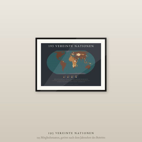
United Nations World Map Poster, 193 Member States by Decade Joined, Equal Earth
€6.90
Digital download
€7.90
Final price. No VAT charged under § 19 UStG (small business).
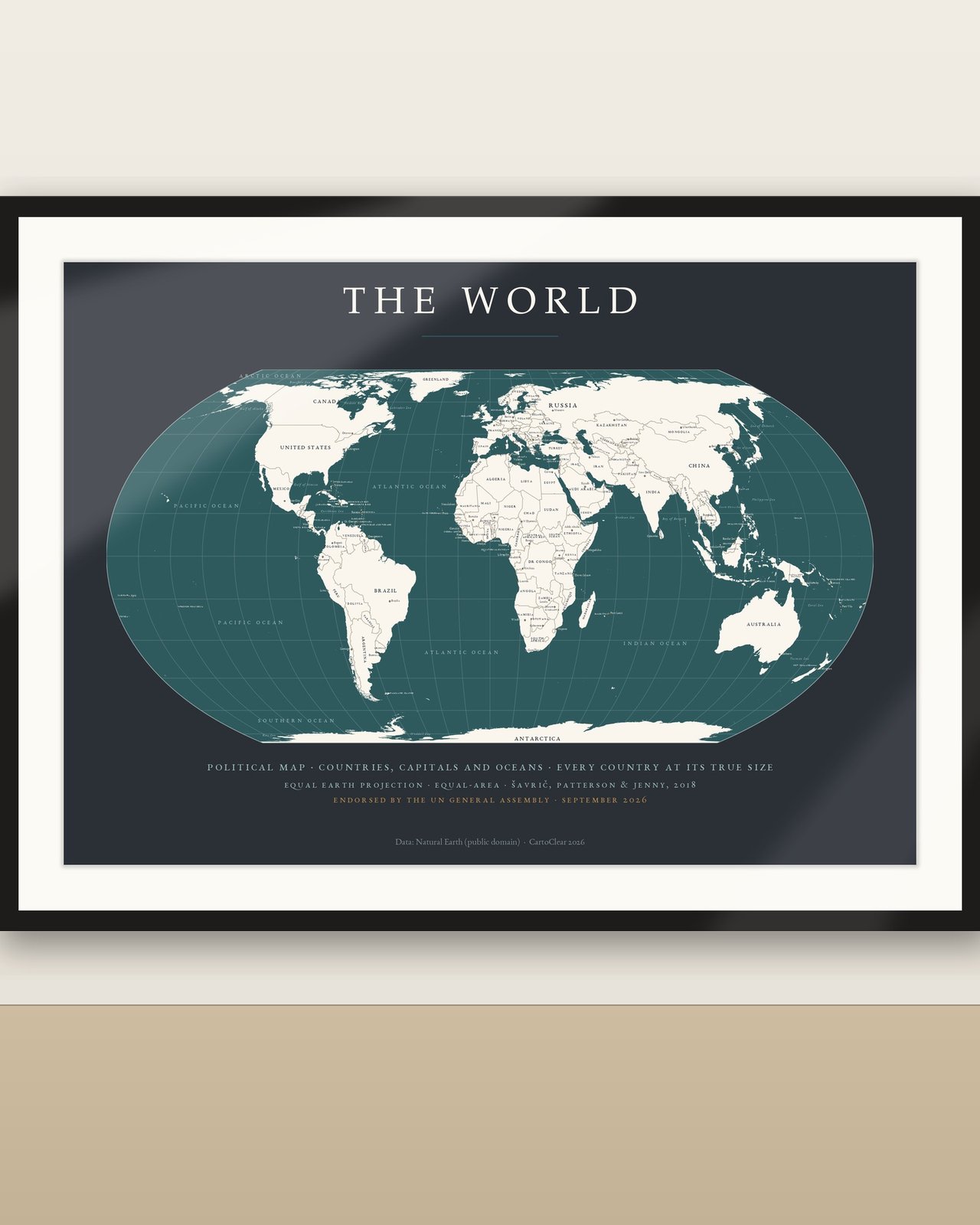
The world with every country named, at its true size, in the CartoClear Charcoal & Petrol palette. On 4 September 2026 the UN General Assembly voted 164 to 1 for the 'Correct the Map' resolution, recommending the equal-area Equal Earth projection in place of Mercator. This is the labelled political edition: all countries with their names in classic small caps on cream land, over 150 capital cities marked in gold, the oceans and major seas lettered in soft teal, and the projection and UN endorsement named on the sheet. A dark, gallery-modern reference map for living rooms, studies and offices.
No physical poster, paper or frame is shipped. Room images illustrate possible display.
Download and unzip your language folder. Choose the PDF matching your paper or frame size. Print at Actual Size / 100% for the specified dimensions, at home or with a print service. Larger sizes require a suitable printer. Colours can vary with screen, printer and paper.
Personal printing and gifting of a finished print are permitted. Digital files may not be resold, redistributed or uploaded publicly. Decorative and educational artwork, not a navigation chart. Country names and de-facto boundaries follow Natural Earth (public domain). Projection: Equal Earth (Šavrič, Patterson & Jenny, 2018). Design: CartoClear.
Die neue Weltkarte der Vereinten Nationen als beschriftete politische Karte in Anthrazit & Petrol: Am 4. September 2026 hat die UN-Generalversammlung mit 164 zu 1 Stimmen die Resolution „Correct the Map“ angenommen und empfiehlt die flächentreue Equal-Earth-Projektion anstelle von Mercator. Diese Ausgabe zeigt alle Länder mit Namen auf cremefarbenem Land, über 150 Hauptstädte in Gold sowie Ozeane und Meere in Petrol. Digitaler Download: 50 Druck-PDFs in 5 Sprachen (Ländernamen, Hauptstädte und Ozeane jeweils übersetzt) und 10 Querformat-Größen von 30 × 21 cm bis A1. Die Beschriftungsdichte passt sich der Größe an: A4 zeigt die wichtigsten Länder und Hauptstädte, ab A2 alle Länder, über 150 Hauptstädte und die Meere. Kein physisches Poster oder Rahmen. Alle Sprachversionen sind enthalten. ZIP entpacken, passende PDF-Größe wählen und mit 100 % / tatsächlicher Größe drucken. Die PDFs enthalten Rastergrafik; keine bearbeitbaren Vektordateien. Nur private Nutzung; keine Weitergabe oder Weiterveräußerung der Dateien.
Digital download
€6.90
 Digital download
€5.90
 Digital download
€6.90
 Digital download
€5.90