
 Digital download
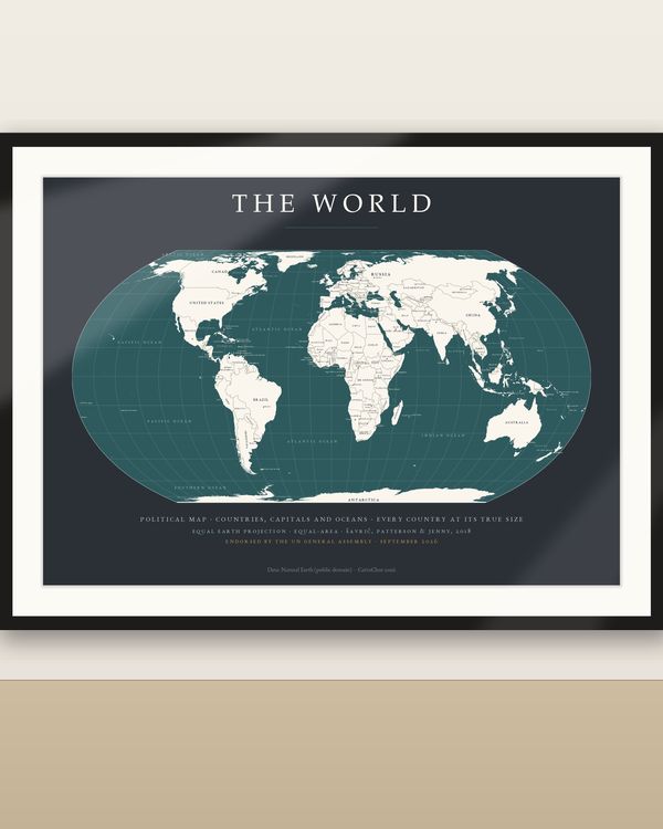
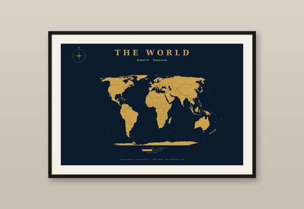
Political World Map Dark, Countries and Capitals Labelled, Equal Earth Projection
€7.90
Digital download
€6.90
Final price. No VAT charged under § 19 UStG (small business).
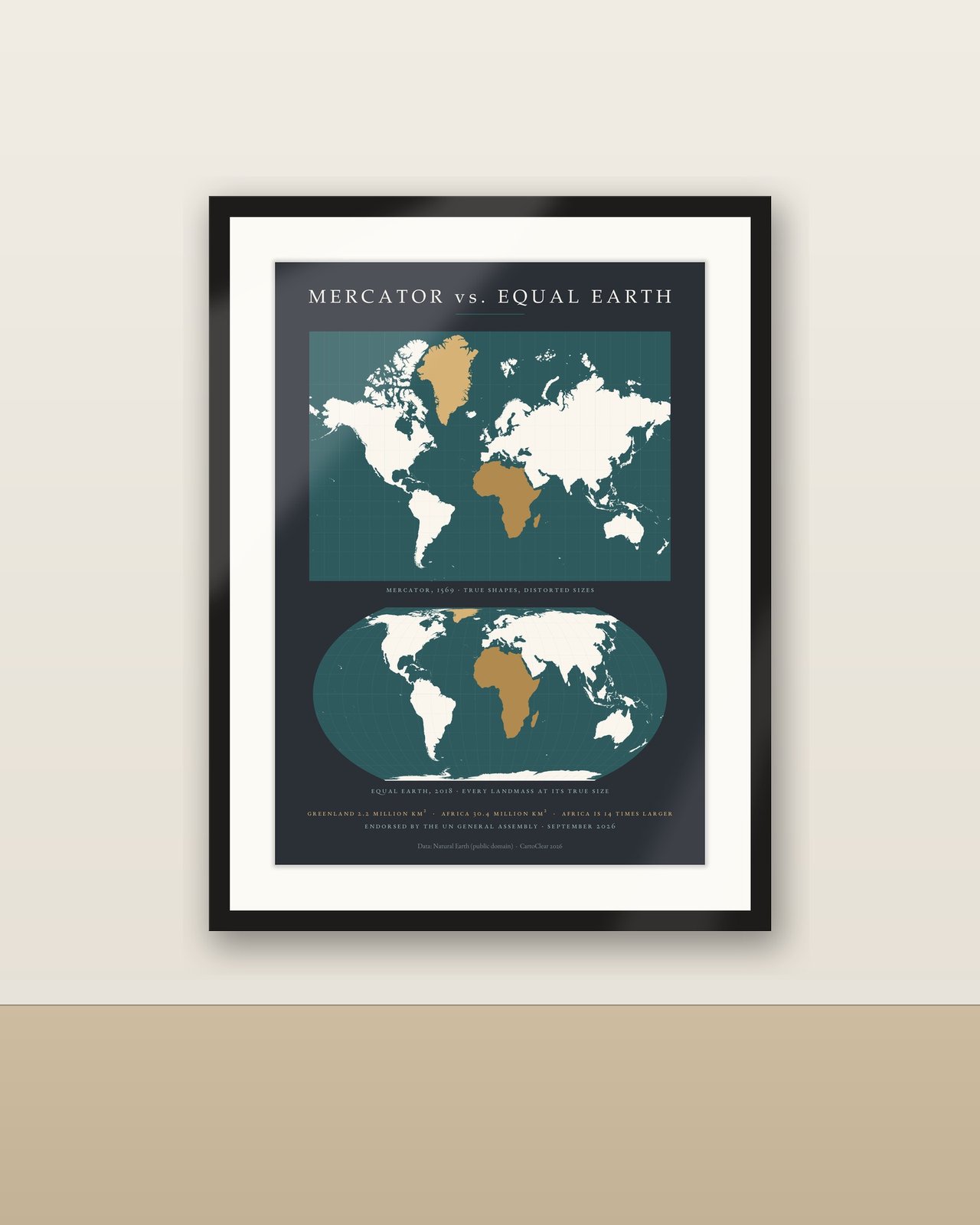
Two maps, one lesson. On 4 September 2026 the UN General Assembly voted 164 to 1 for the 'Correct the Map' resolution, recommending the equal-area Equal Earth projection in place of Mercator, which shows Greenland as large as Africa although Africa is about 14 times bigger. This poster puts both projections on one sheet: the classic Mercator above, the new Equal Earth below, with Greenland and Africa picked out in muted gold so the distortion is obvious at a glance. A fact line spells it out: Greenland 2.2 million km², Africa 30.4 million km², Africa is 14 times larger. Deep petrol seas and off-white land on charcoal, with dates, captions and the UN note localized on the sheet. Made for classrooms, lecture rooms, offices and curious minds.
No physical poster, paper or frame is shipped. Room images illustrate possible display.
Download and unzip your language folder. Choose the PDF matching your paper or frame size. Print at Actual Size / 100% for the specified dimensions, at home or with a print service. Larger sizes require a suitable printer. Colours can vary with screen, printer and paper.
Personal printing and gifting of a finished print are permitted. Digital files may not be resold, redistributed or uploaded publicly. Decorative and educational artwork, not a navigation chart. Projection: Equal Earth (Šavrič, Patterson & Jenny, 2018). Data: Natural Earth (public domain). Design: CartoClear.
Mercator und Equal Earth im direkten Vergleich: Am 4. September 2026 hat die UN-Generalversammlung mit 164 zu 1 Stimmen die Resolution „Correct the Map“ angenommen und empfiehlt die flächentreue Equal-Earth-Projektion anstelle von Mercator. Dieses Poster zeigt beide Projektionen auf einem Blatt, Grönland und Afrika in Gold hervorgehoben, dazu die Faktenzeile (Grönland 2,2 Mio. km², Afrika 30,4 Mio. km², 14-fache Fläche). Digitaler Download: 50 Druck-PDFs in 5 Sprachen und 10 Größen. Kein physisches Poster oder Rahmen. Alle Sprachversionen sind enthalten. ZIP entpacken, passende PDF-Größe wählen und mit 100 % / tatsächlicher Größe drucken. Die PDFs enthalten Rastergrafik; keine bearbeitbaren Vektordateien. Nur private Nutzung; keine Weitergabe oder Weiterveräußerung der Dateien.
Digital download
€7.90
 Digital download
€6.90
 Digital download
€5.90
 Digital download
€5.90