
 Digital download
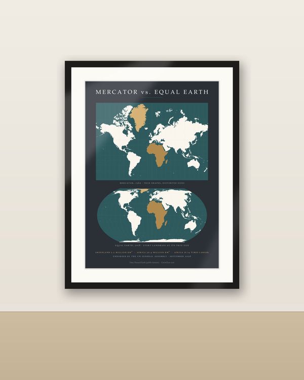
Mercator vs Equal Earth Comparison Poster, Why the UN Changed the World Map 2026
€6.90
Digital download
€6.90
Final price. No VAT charged under § 19 UStG (small business).
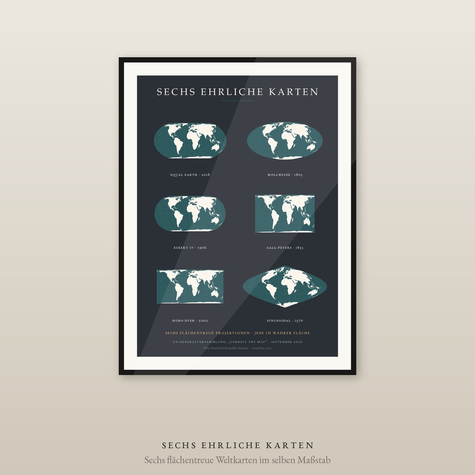
The UN resolution of September 2026 recommends the Equal Earth projection “and other equal-area maps”. This sheet shows what the plural means: six world maps that all show the same area, and still look nothing alike.
That is the point of it. All six are printed at one scale — differently shaped, demonstrably equal in area. You can measure it. What differs is shape: Mollweide squeezes the edges, Gall-Peters stretches the tropics, Sinusoidal tapers to a point at the poles. Equal area is a decision with a price, and this poster shows which price.
Six maps with name and year, from the sinusoidal projection of 1570 to Equal Earth of 2018.
DIGITAL DOWNLOAD ONLY — nothing is shipped.
SIZES (portrait, fit standard and IKEA frames — no trimming)
All six projections are equal-area and drawn at one common scale, so the comparison means what it claims. Computed with PROJ. Geometry: Natural Earth (public domain).
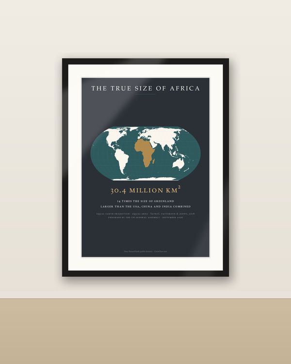
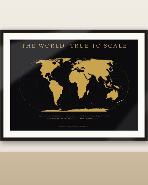
The same UN resolution brought the Equal Earth world maps in dark and light, the Mercator versus Equal Earth comparison sheet and “The True Size of Africa” — see the World Maps & Projections section.
Unzip the language you want, pick the PDF that matches your paper or frame size and print at 100 % / actual size, at home or at a print shop. Large sizes need a suitable printer. Colours may vary between screen, printer and paper.
Private printing and gifting a finished print are allowed. The digital files may not be resold, shared or uploaded publicly.
Frame not included. Designed and prepared by CartoClear, Bad Oldesloe, Germany.
Digital download
€6.90
 Digital download
€6.90
 Digital download
€6.90
 Digital download
€6.90