
 Digital download
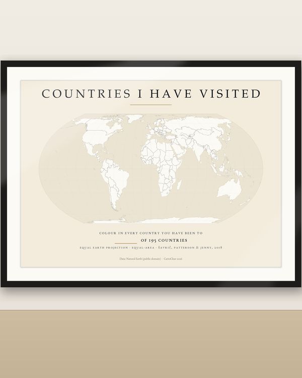
Visited Countries Map Printable, Colour In Where You Have Been
€6.90
Digital download
€9.90
Final price. No VAT charged under § 19 UStG (small business).
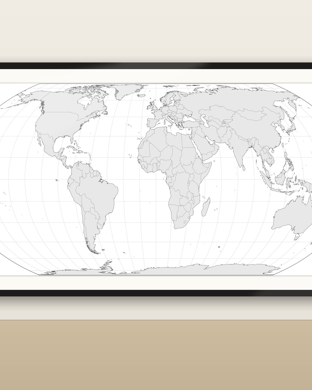
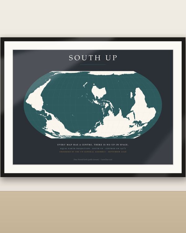
A clean, empty world map in the projection the world is switching to, in every format you might need: SVG, Shapefile, GeoJSON, EPS, DXF, PDF and PNG. On 4 September 2026 the UN General Assembly voted 164 to 1 for the 'Correct the Map' resolution, recommending the equal-area Equal Earth projection in place of Mercator. This is that map as a working template: coastlines, country borders, a 15° graticule and the projection outline, nothing else. Colour countries, add your own labels, routes, pins, data or branding, and use it in posters, presentations, worksheets, infographics, websites or travel maps.
No physical product is shipped. Preview images show possible uses; the files contain the blank map only.
INCLUDED IN YOUR PURCHASE (5 ZIP downloads)
Projection: Equal Earth (Šavrič, Patterson & Jenny, 2018), equal-area, central meridian 0°. Data: Natural Earth 1:50m (public domain); country shapes follow Natural Earth's de-facto boundaries. Neutral styling (light grey land, dark grey lines) that is easy to restyle. No text on the map, so it works in every language.
Use the template in your own personal and commercial designs, prints, presentations and worksheets. The files themselves (or trivially modified copies) may not be resold, shared or redistributed as a template or product. Not a navigation chart.
Leere Weltkarte in der Equal-Earth-Projektion, die die UN-Generalversammlung am 4. September 2026 anstelle von Mercator empfohlen hat, als Vorlage zum Weiterverarbeiten: Küstenlinien, Ländergrenzen, 15°-Gradnetz und Umriss, sonst nichts. Enthalten: SVG mit Ebenen (jedes Land als eigener Pfad mit ISO-Code, z. B. #DEU), GIS-Paket mit Shapefiles in EPSG:8857 (Länder, Land, Grenzen, Gradnetz, Umriss) und GeoJSON, EPS (Vektor), DXF (jedes Land auf eigener Ebene, für CAD und Lasercutter), Vektor-PDF in 10 Querformat-Größen (30 × 21 bis A0) und PNG (8000 und 4000 px, transparent und weiß) sowie eine README. Länder einfärben, eigene Beschriftungen, Routen oder Daten ergänzen, in Inkscape, Illustrator, Affinity, Figma oder Canva Pro öffnen. Nutzung in eigenen privaten und gewerblichen Designs erlaubt; die Dateien selbst dürfen nicht weiterverkauft oder weitergegeben werden. Digitaler Download, kein physisches Produkt. Daten: Natural Earth (gemeinfrei).
Digital download
€6.90
 Digital download
€7.90
 Digital download
€7.90
 Digital download
€6.90