
 Digital download
Vintage World Map Printable, Antique Sepia Relief Wall Art, 5 Languages, 9 Sizes
€6.90
Digital download
€6.90
Final price. No VAT charged under § 19 UStG (small business).
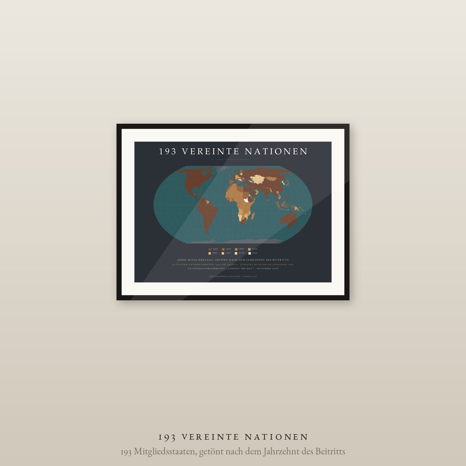
Fifty-one states signed the Charter in 1945. Today there are 193. This map shades every member by the decade it joined, and a second story surfaces: the pale tones sit where colonies became independent in the 1960s, and again where the Soviet Union and Yugoslavia broke up in 1991. Look at it long enough and decolonisation reads as a colour ramp.
A poster for the study, the classroom and anyone who likes thinking about politics spatially.
DIGITAL DOWNLOAD ONLY — nothing is shipped.
SIZES (landscape, fit standard and IKEA frames — no trimming)
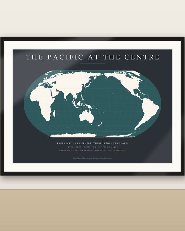
Equal Earth projection, equal-area — every country at its true relative size, as the UN General Assembly recommended in September 2026. Territories that are not members of their own stay grey: Greenland, Western Sahara, Antarctica. Years of admission follow the United Nations, as of 2026; Germany is shown as 1973 and Russia continues the seat the Soviet Union took in 1945. Geometry: Natural Earth (public domain).
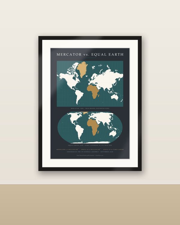
The same UN resolution brought the Equal Earth world maps in dark and light, the Mercator versus Equal Earth comparison sheet and “The True Size of Africa” — see the World Maps & Projections section.
Unzip the language you want, pick the PDF that matches your paper or frame size and print at 100 % / actual size, at home or at a print shop. Large sizes need a suitable printer. Colours may vary between screen, printer and paper.
Private printing and gifting a finished print are allowed. The digital files may not be resold, shared or uploaded publicly.
Frame not included. Designed and prepared by CartoClear, Bad Oldesloe, Germany.
Digital download
€6.90
 Digital download
€5.90
 Digital download
€6.90
 Digital download
€6.90