
 Digital download
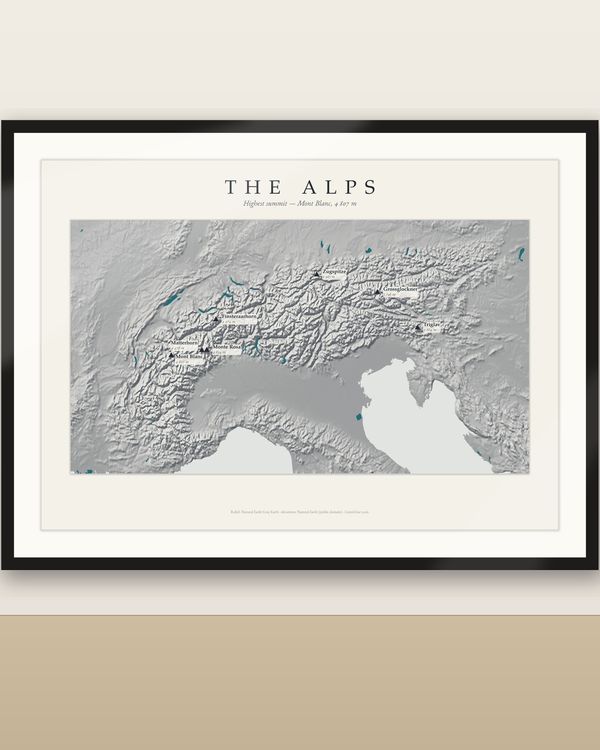
Alps Relief Map Printable, Mountain Wall Art with Named Peaks, 5 Languages, 9 Sizes
€5.90
Digital download
€6.90
Final price. No VAT charged under § 19 UStG (small business).
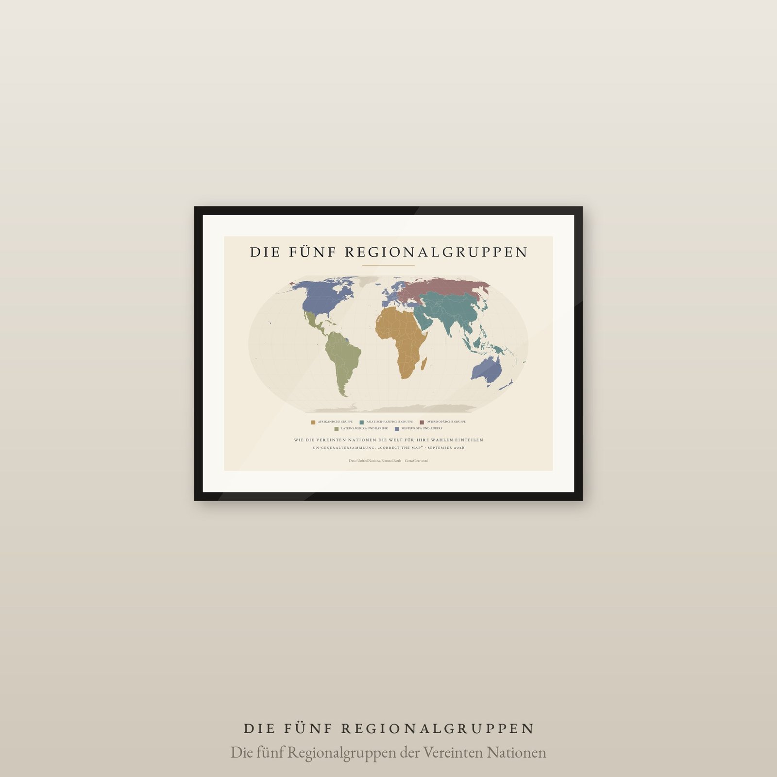
Who gets a seat at the United Nations depends less on the country than on its group. Five regional groups divide the world for elections and rotations: Africa and Asia-Pacific with 54 states each, Latin America and the Caribbean with 33, Western Europe and Others with 29, Eastern Europe with 23. This map shows the division as it actually looks — and makes plain why “Western Europe and Others” also covers Canada, Australia and New Zealand.
Light edition on cream, quiet enough for an office and clear enough for a seminar room.
DIGITAL DOWNLOAD ONLY — nothing is shipped.
SIZES (landscape, fit standard and IKEA frames — no trimming)
Equal Earth projection, equal-area. Group membership follows the United Nations, as of 2026. Two subtleties the map cannot show: Türkiye formally belongs to two groups and is placed here with Western Europe and Others, where it stands for election; the United States takes part in that group as an observer only. Geometry: Natural Earth (public domain).
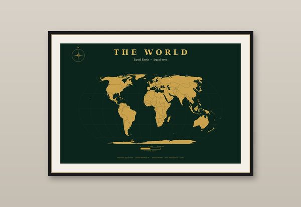
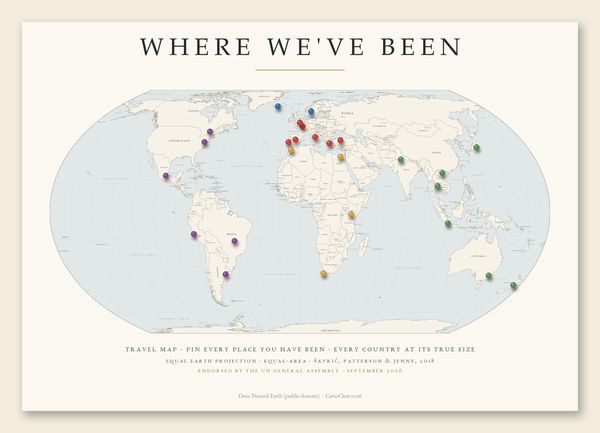
The same UN resolution brought the Equal Earth world maps in dark and light, the Mercator versus Equal Earth comparison sheet and “The True Size of Africa” — see the World Maps & Projections section.
Unzip the language you want, pick the PDF that matches your paper or frame size and print at 100 % / actual size, at home or at a print shop. Large sizes need a suitable printer. Colours may vary between screen, printer and paper.
Private printing and gifting a finished print are allowed. The digital files may not be resold, shared or uploaded publicly.
Frame not included. Designed and prepared by CartoClear, Bad Oldesloe, Germany.
Digital download
€5.90
 Digital download
€10.00
 Digital download
€8.90
 Digital download
€6.90