
 Digital download
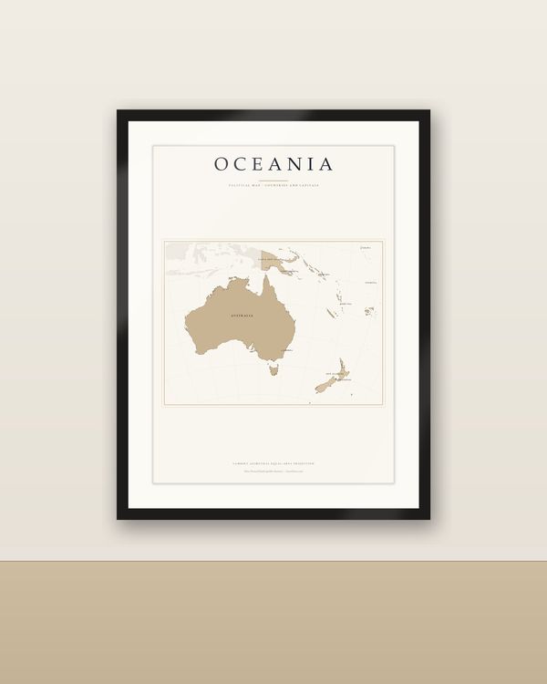
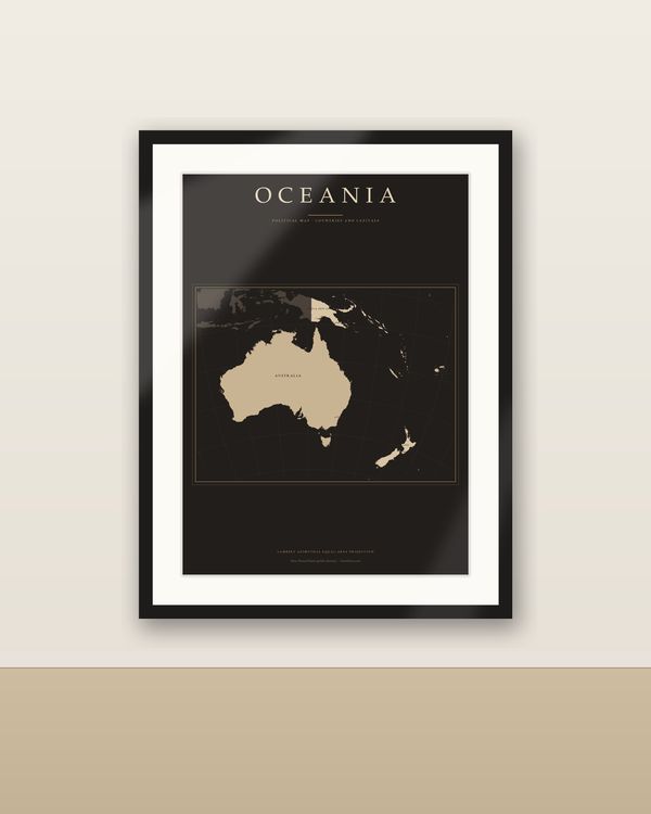
Oceania Map Poster Light, Countries and Capitals Labelled, Political Map, Equal-Area
€6.90
Digital download
€6.90
Final price. No VAT charged under § 19 UStG (small business).
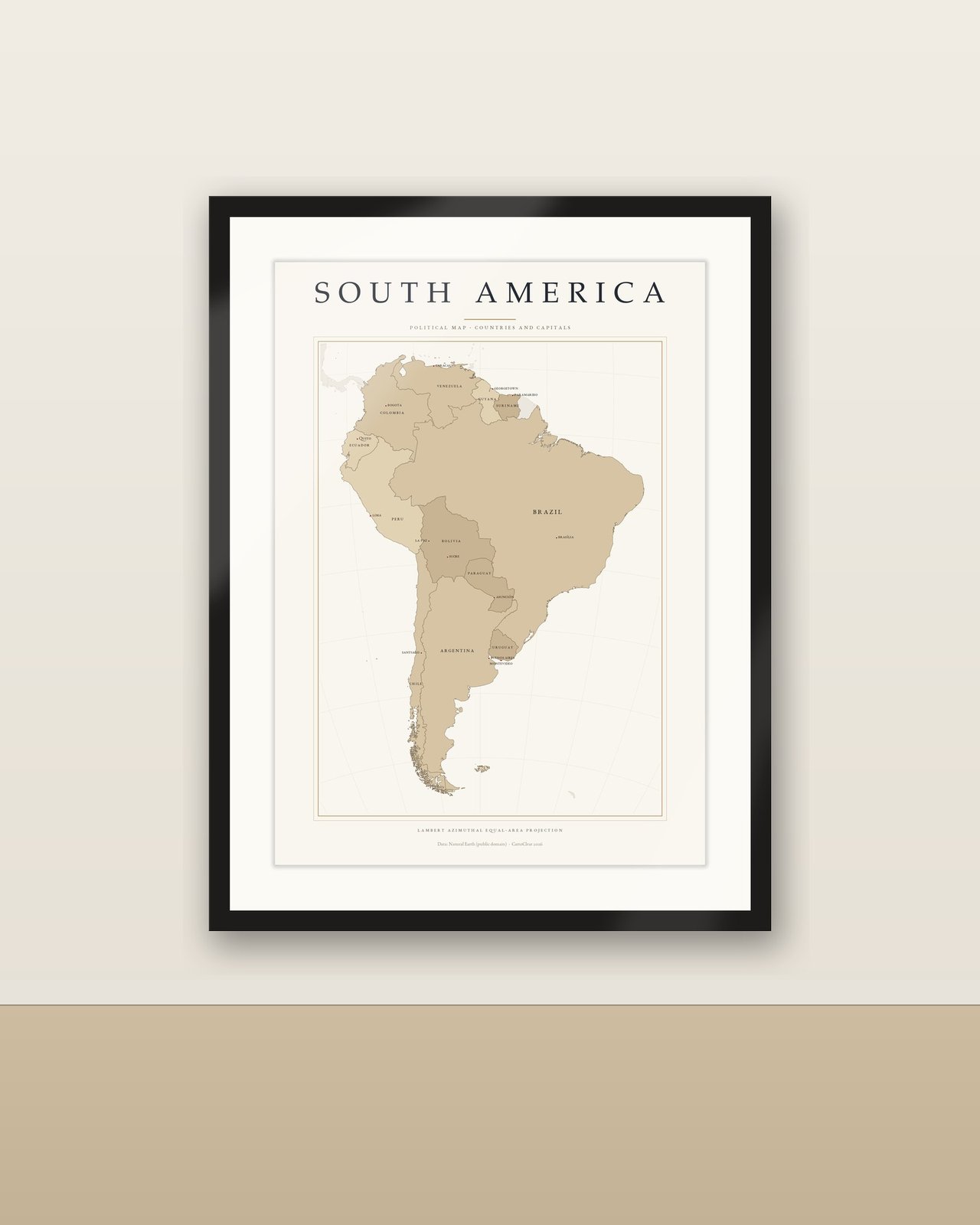
South America at a glance: every South American country with its capital, in an equal-area projection with names in five languages. Light cream ground, land in three sand tones, sepia borders, a gold double frame and small caps: a clear, friendly reference map for the classroom, kids' room, office and hallway.
No poster, paper or frame is shipped. Room views show possible uses.
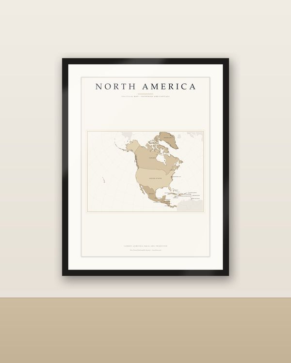
Equal-area Lambert azimuthal projection centred on the continent: every country at its true relative size. Neighbouring countries outside the continent are shown discreetly as context. Labels: country names in small caps, capitals with a dot; micro-states are omitted on small sheets. Decorative or educational graphic, not a navigation map. Data: Natural Earth (public domain). Design: CartoClear.
Unzip the language you want, pick the PDF that matches your paper or frame size and print at 100 % / actual size, at home or at a print shop. Large sizes need a suitable printer. Colours may vary between screen, printer and paper.
Private printing and gifting a finished print are allowed. The digital files may not be resold, shared or uploaded publicly.
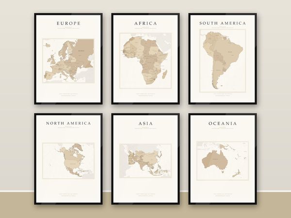
All six continents (Europe, Africa, Asia, North America, South America, Oceania) are available in both editions, Dark Academia and light — see the shop.
The set with all six continents (4 sizes each, 5 languages) costs a little over half of the six single maps, in both editions.
The same map is also available as a premium matte poster (200 gsm, A4 to 50 x 70 cm), printed and shipped in a protective tube, language of your choice — see the Continent Maps section.
Digital download
€6.90
 Digital download
€6.90
 Digital download
€19.90
 Digital download
€6.90