
 Digital download
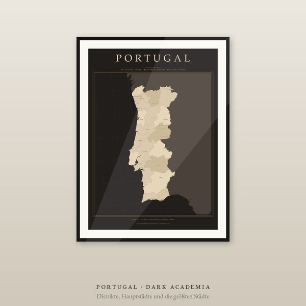
Portugal Map Poster, Districts and Cities Labelled, 2 Editions, Equal-Area, 5 Languages
€7.90
Digital download
€7.90
Final price. No VAT charged under § 19 UStG (small business).
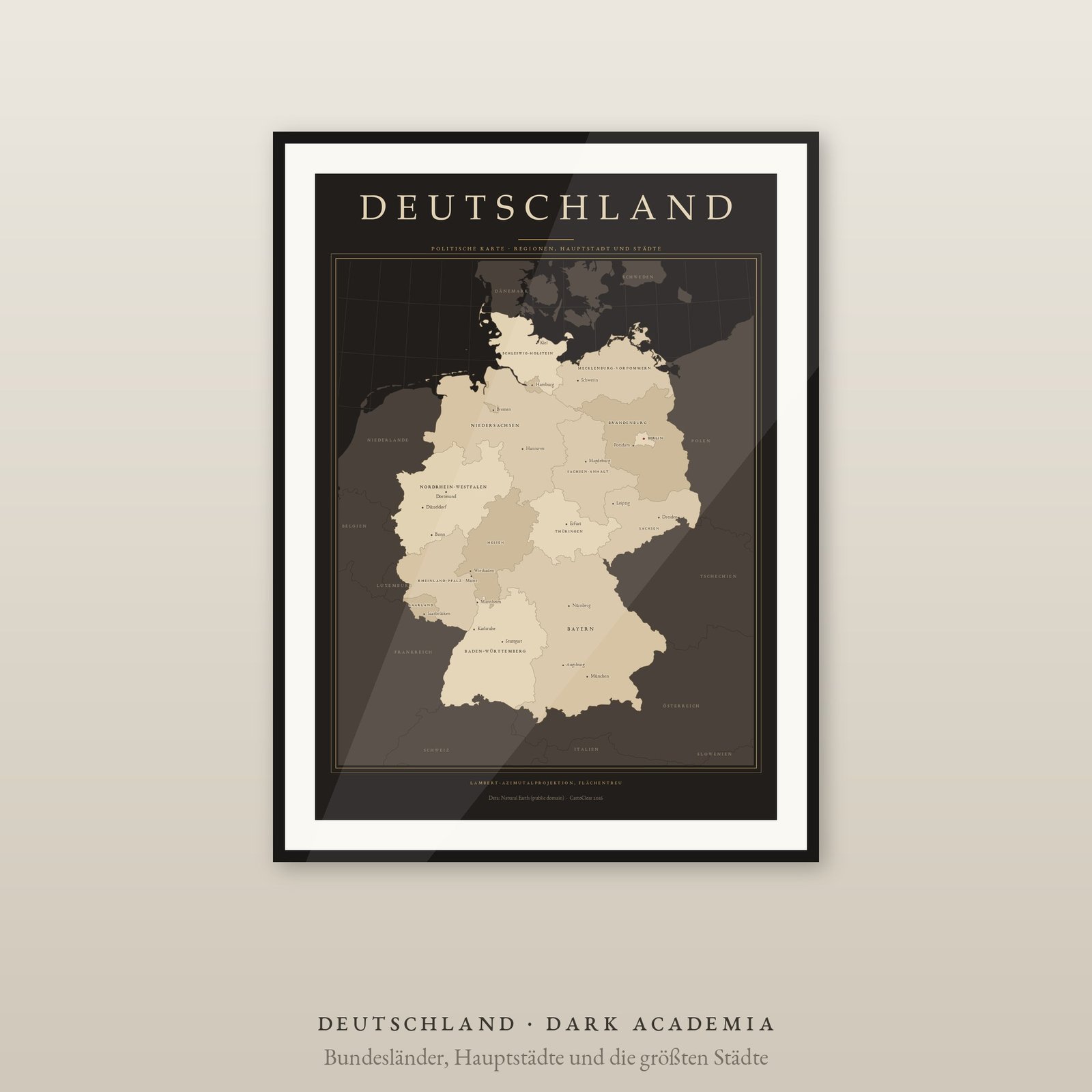
Germany at a glance: 16 federal states named, the capital highlighted, the largest cities marked with a fine dot. In an equal-area projection, in two editions — Dark Academia on a near-black ground with parchment tones, and the light edition on cream. Both are included in the package.
DIGITAL DOWNLOAD ONLY — nothing is shipped.
SIZES (portrait, fit standard and IKEA frames — no trimming)
Lambert azimuthal equal-area projection centred on the country: every region at its true relative size. 16 Federal States are filled and labelled, the capital is highlighted and the largest cities carry a fine dot. Neighbouring countries sit discreetly behind as context. Decorative or educational graphic, not a navigation map. Data: Natural Earth (public domain).
Unzip the language you want, pick the PDF that matches your paper or frame size and print at 100 % / actual size, at home or at a print shop. Large sizes need a suitable printer. Colours may vary between screen, printer and paper.
Private printing and gifting a finished print are allowed. The digital files may not be resold, shared or uploaded publicly.
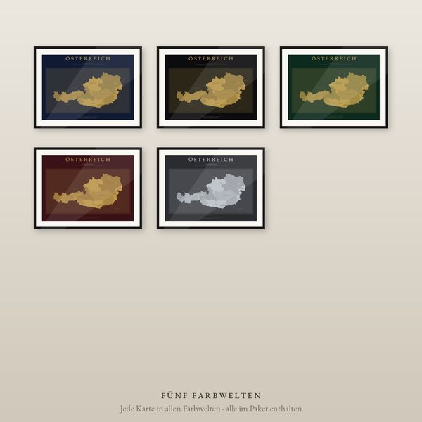
The same map is also available as a luxury set in five colourways (Midnight Blue, Noir, Emerald, Burgundy, Charcoal) — see the Country Maps section.
Frame not included. Designed and prepared by CartoClear, Bad Oldesloe, Germany.
Digital download
€7.90
 Digital download
€12.90
 Digital download
€7.90
 Digital download
€5.90