
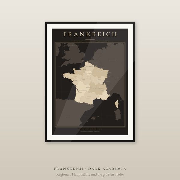
 Digital download
France Map Poster, 13 Regions and Cities Labelled, 2 Editions, Equal-Area, 5 Languages
€7.90
Digital download
€12.90
Final price. No VAT charged under § 19 UStG (small business).
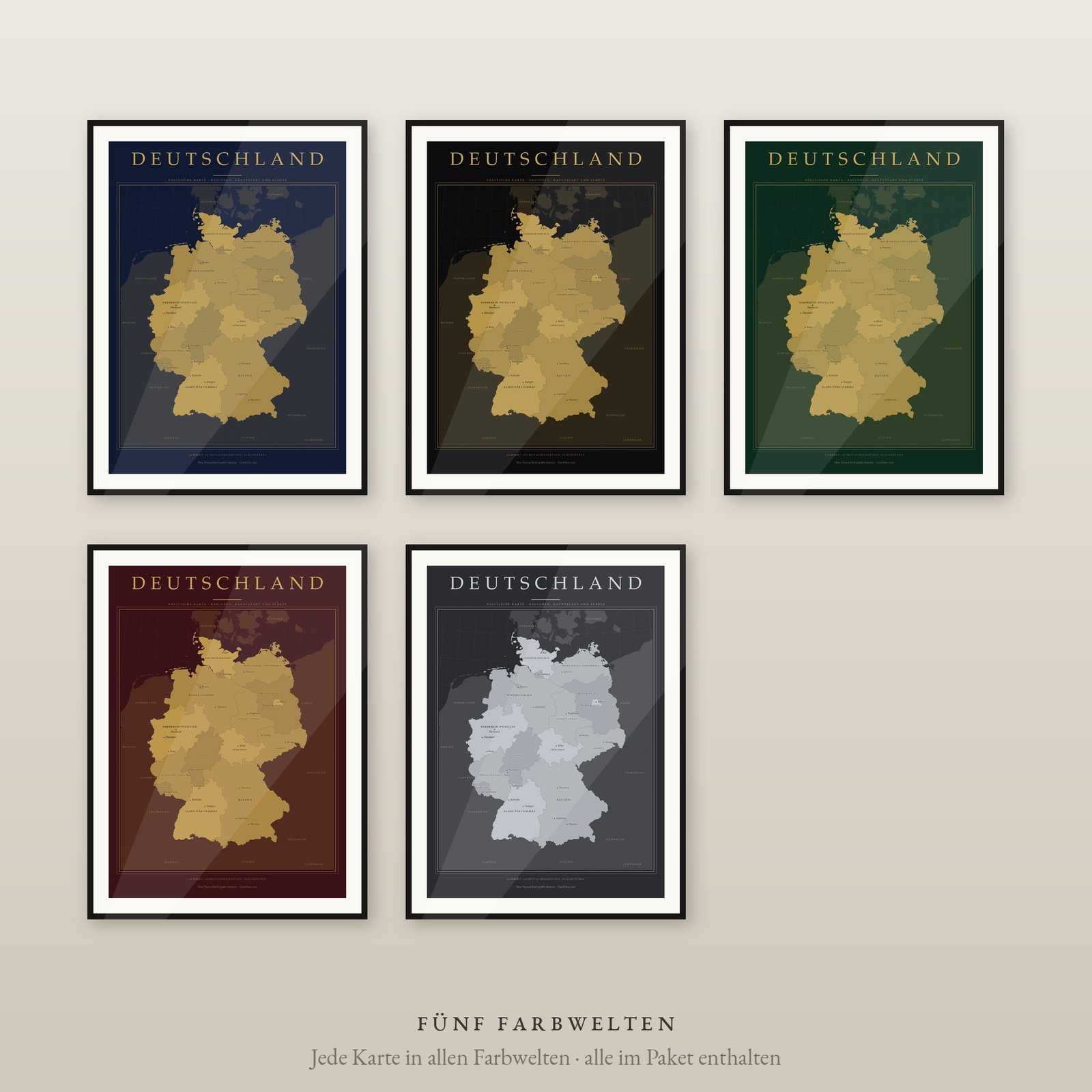
Germany in five colourways: midnight blue, deep black, emerald and burgundy, each with gold, plus charcoal with platinum. 16 Federal States in graded tones of the metal, the capital highlighted, the largest cities marked with a fine dot. For the study, library and hallway — hung on its own or as a gallery wall in several colours.
DIGITAL DOWNLOAD ONLY — nothing is shipped.
SIZES (portrait, fit standard and IKEA frames — no trimming)
Lambert azimuthal equal-area projection centred on the country: every region at its true relative size. 16 Federal States are filled and labelled, the capital is highlighted and the largest cities carry a fine dot. Neighbouring countries sit discreetly behind as context. Decorative or educational graphic, not a navigation map. Data: Natural Earth (public domain).
Unzip the language you want, pick the PDF that matches your paper or frame size and print at 100 % / actual size, at home or at a print shop. Large sizes need a suitable printer. Colours may vary between screen, printer and paper.
Private printing and gifting a finished print are allowed. The digital files may not be resold, shared or uploaded publicly.
The same map is also available as the standard edition (Dark Academia and light) with 9 sizes up to A1 — see the Country Maps section.
Frame not included. Designed and prepared by CartoClear, Bad Oldesloe, Germany.
Digital download
€7.90
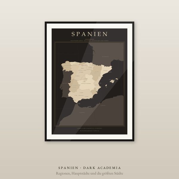 Digital download
€7.90
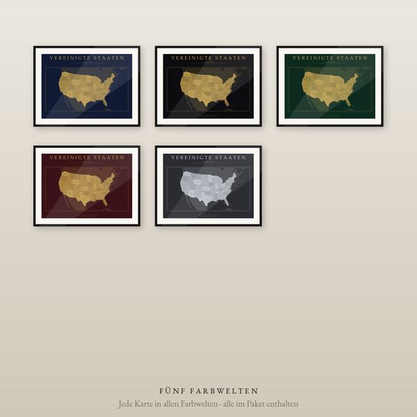 Digital download
€12.90
 Digital download
€5.90