 Printed poster
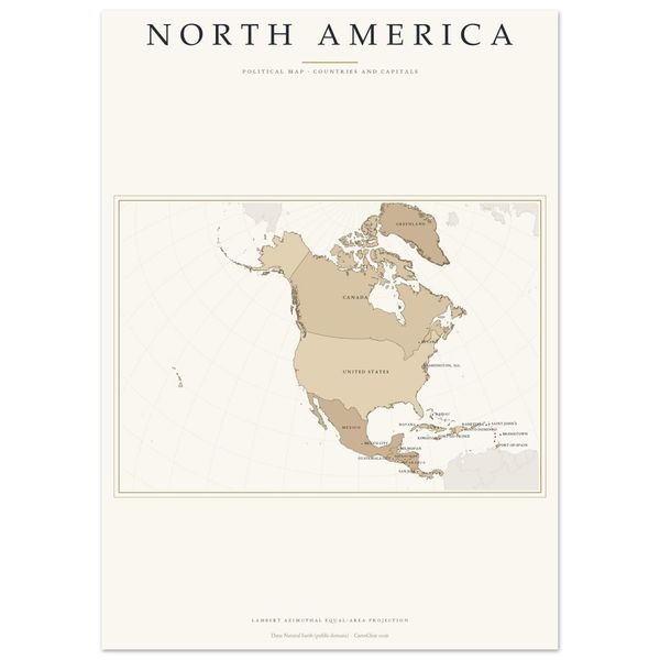
North America Map Light Poster Print, Countries and Capitals Labelled, Political Map
from €16.90
Printed poster
from €16.90
Final price. No VAT charged under § 19 UStG (small business). · plus shipping
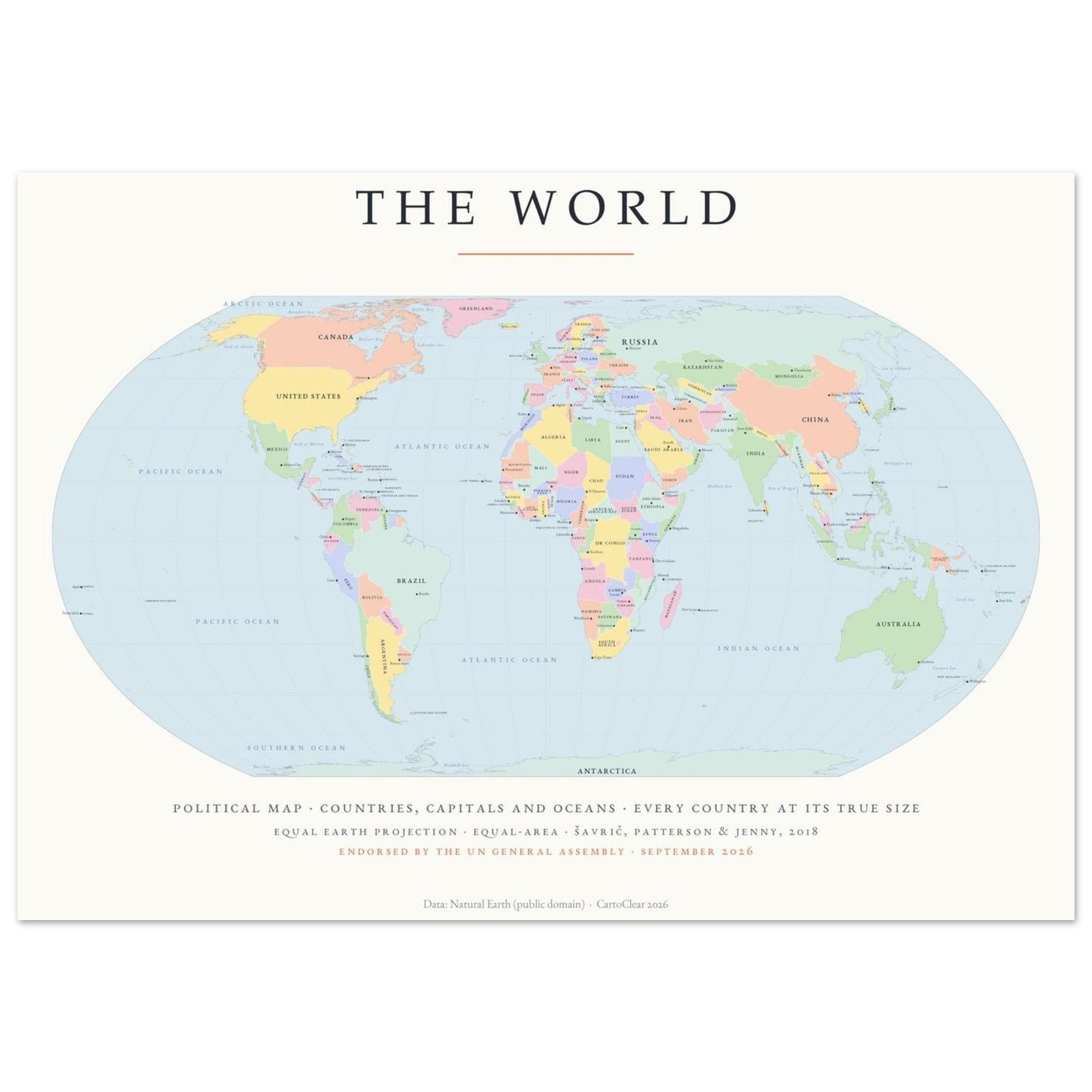
The world with every country named, at its true size, printed and ready for the nursery or classroom. On 4 September 2026 the UN General Assembly adopted the “Correct the Map” resolution by 164 votes to 1 and recommends the equal-area Equal Earth projection instead of Mercator, which shows Greenland as large as Africa although Africa is about 14 times bigger. This poster is the colourful political edition of the CartoClear Equal Earth map: every continent in its own friendly colour, clear borders, easy-to-read names. Kids learn the world the way it really is.
Also available in ivory (light) and charcoal & petrol (dark) — see the shop.
PRINTED & SHIPPED FOR YOU — no download, no printing, no hassle.
SIZES (landscape, fit standard frames — no trimming)
Pick the map language at checkout: English, Deutsch, Français, Italiano or Español. Country names, capitals, seas and title are translated (THE WORLD · DIE WELT · LE MONDE · IL MONDO · EL MUNDO). Some geographic names stay in the source language.
Equal Earth projection (Šavrič, Patterson & Jenny, 2018): equal-area, every country at its true size. Every country named, 150+ capitals, oceans and major seas, fine 15° graticule, projection and UN recommendation printed on the sheet. Decorative or educational graphic, not a navigation map. Data: Natural Earth (public domain).
The same map is also available as a digital download with 10 sizes and all 5 languages — see the shop.
Frame not included. Colours may vary slightly between screens and printed paper. Designed and prepared by CartoClear, Bad Oldesloe, Germany.
Printed poster
from €16.90
 Printed poster
from €14.90
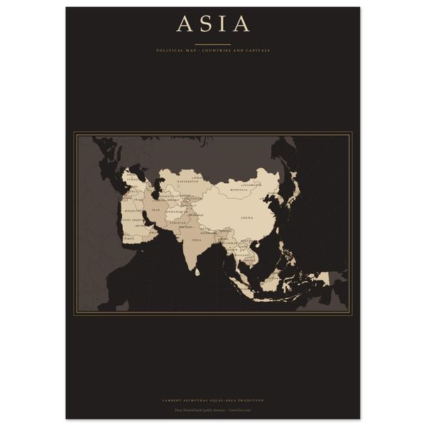 Printed poster
from €16.90
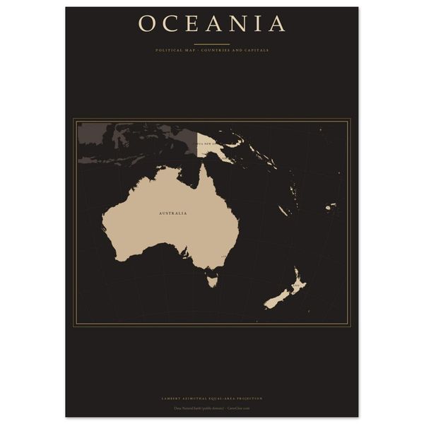 Printed poster
from €16.90