
 Digital download
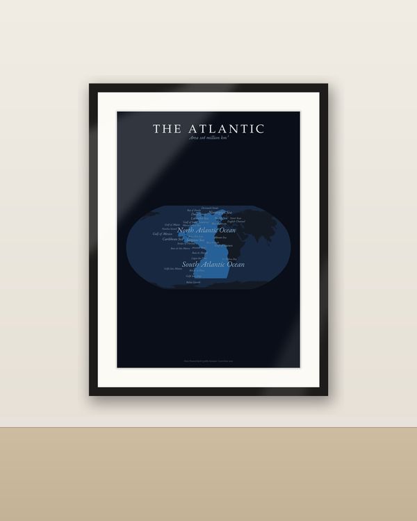
The Atlantic Ocean Map Printable, Ocean Portrait with Named Seas
€6.90
Digital download
€6.90
Final price. No VAT charged under § 19 UStG (small business).
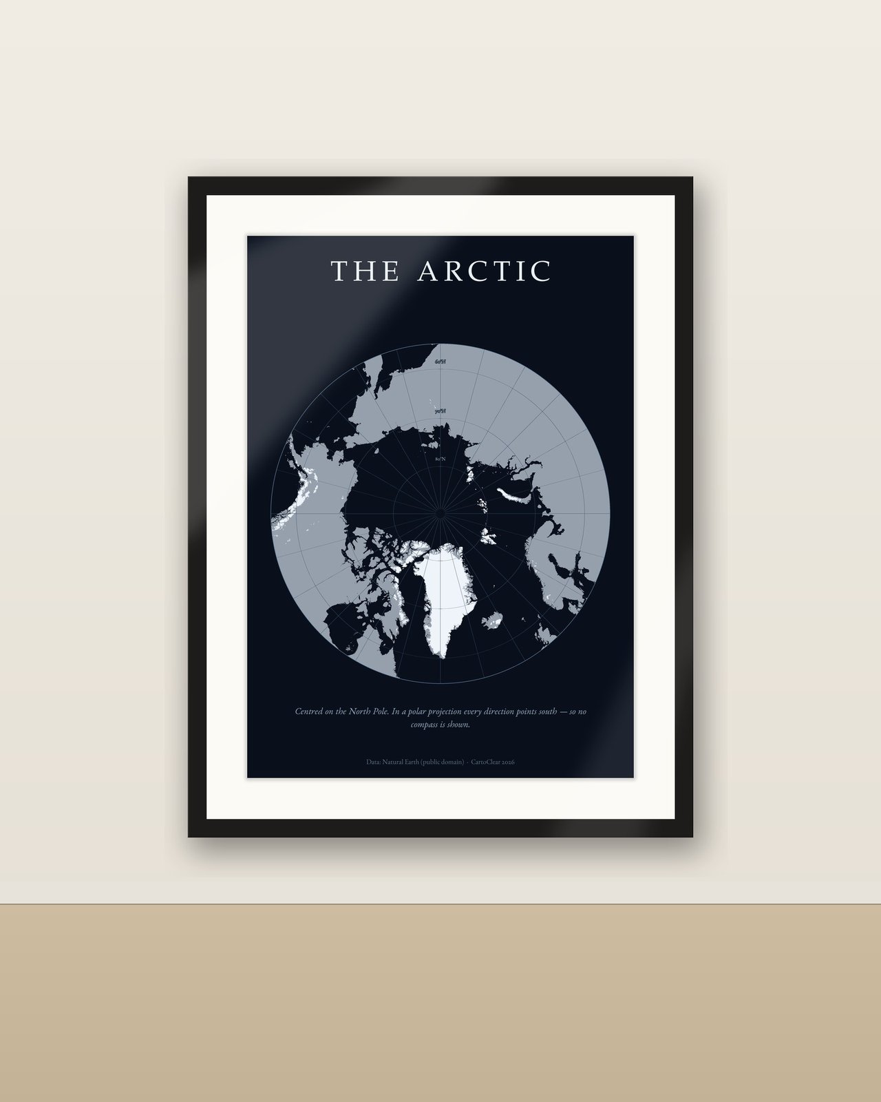
A circular portrait of the Arctic, centred on the North Pole. Greenland, Svalbard, the Canadian archipelago and the Siberian coast ring the Arctic Ocean – land in light grey, glaciers in white – with the latitude circles drawn as fine rings on a deep navy ground. A quiet, modern print for polar explorers, sailors and anyone drawn to the far north.
No physical poster, paper or frame is shipped. Room images illustrate possible display.
Download and unzip your language folder. Choose the PDF matching your paper or frame size. Print at Actual Size / 100% for the specified dimensions, at home or with a print service. Larger sizes require a suitable printer. Colours can vary with screen, printer and paper.
Personal printing and gifting of a finished print are permitted. Digital files may not be resold, redistributed or uploaded publicly. Decorative artwork, not a navigation chart. Data: Natural Earth (public domain). Design: CartoClear.
Die Arktis als runde Polkarte, zentriert auf den Nordpol, Eis und Land auf tiefem Marineblau. Digitaler Download: 50 Druck-PDFs in 5 Sprachen und 10 Größen. Kein physisches Poster oder Rahmen. Alle Sprachversionen sind enthalten. ZIP entpacken, passende PDF-Größe wählen und für genaue Maße mit 100 % / tatsächlicher Größe drucken. Die PDFs enthalten Rastergrafik; keine bearbeitbaren Vektordateien. Nur private Nutzung; keine Weitergabe oder Weiterveräußerung der Dateien.
Digital download
€6.90
 Digital download
€6.90
 Digital download
€9.90
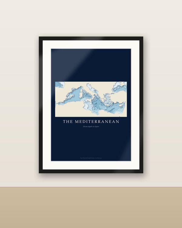 Digital download
€7.90