
 Printed poster
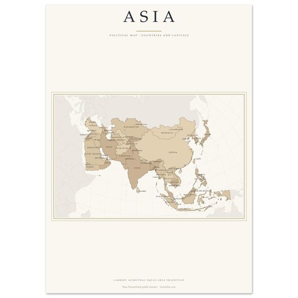
Asia Map Light Poster Print, Countries and Capitals Labelled, Political Map, Equal-Area
from €16.90
Printed poster
from €16.90
Final price. No VAT charged under § 19 UStG (small business). · plus shipping
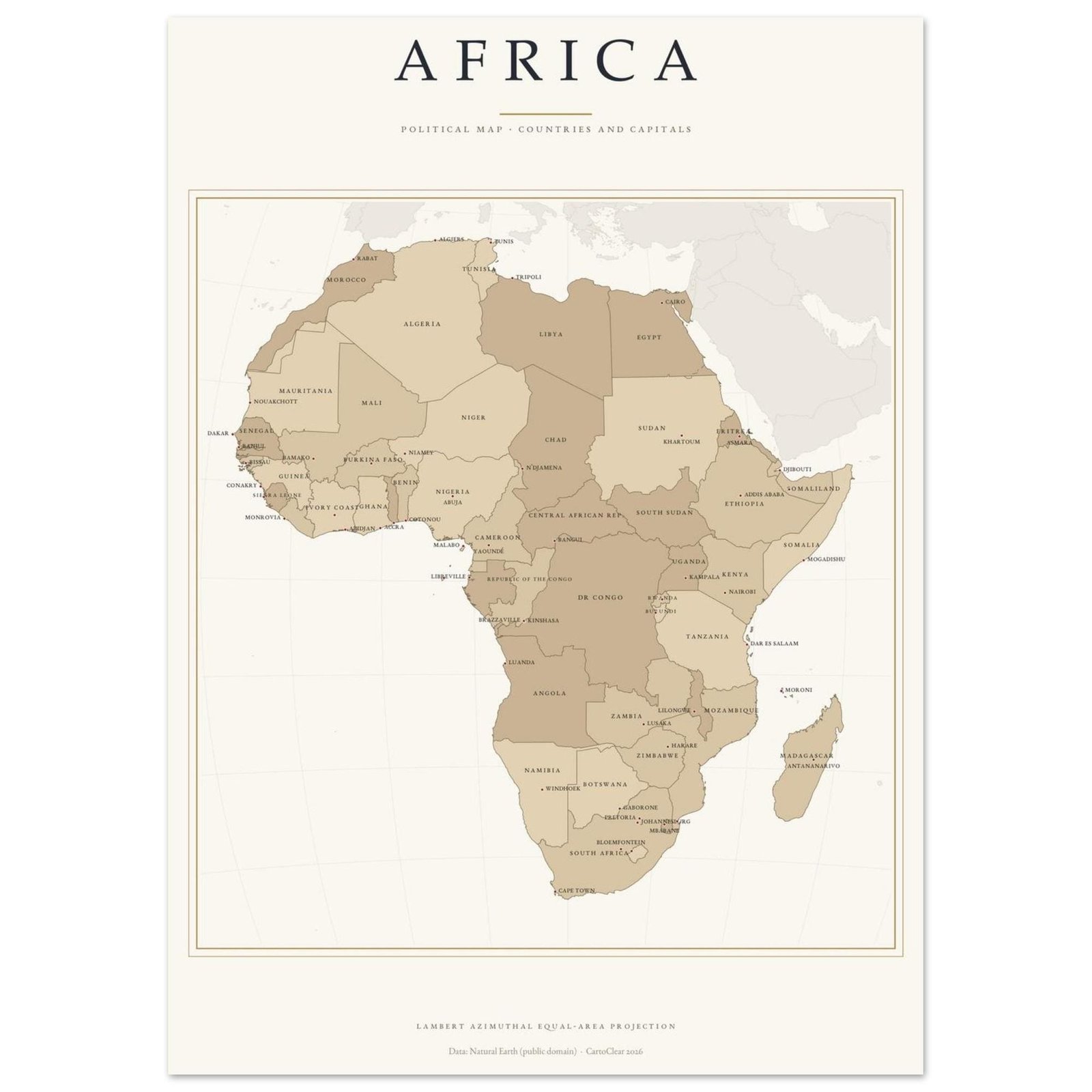
Africa at a glance: all 54 African states with their capitals, in an equal-area projection, printed and delivered to your wall. Light cream ground, land in three sand tones, sepia borders, a gold double frame and small caps: a clear, friendly reference map for the classroom, kids' room, office and hallway.
Also available in the Dark Academia edition, as a digital download and in a set of six — see the shop.
PRINTED & SHIPPED FOR YOU — no download, no printing, no hassle.
SIZES (portrait, fit standard and IKEA frames — no trimming)
Pick the map language at checkout: English, Deutsch, Français, Italiano or Español. Title, country names and capitals are translated (AFRIKA · AFRICA · AFRIQUE · AFRICA · ÁFRICA).
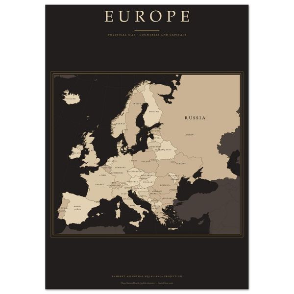
Equal-area projection centred on the continent: every country at its true relative size. Neighbouring countries outside the continent are shown discreetly as context. Country names in small caps, capitals with a dot, gold double frame. Decorative or educational graphic, not a navigation map. Data: Natural Earth (public domain).
The same map is also available as a digital download with 9 sizes up to A1 and all 5 languages, and all six continents as a set — see the Continent Maps section.
Frame not included. Colours may vary slightly between screens and printed paper. Designed and prepared by CartoClear, Bad Oldesloe, Germany.
Printed poster
from €16.90
 Printed poster
from €16.90
 Printed poster
from €16.90
 Printed poster
from €16.90